Advancements in agriculture have led to the use of technology in all aspects of the craft. With the demand for food, textiles, and other crops increasing year after year due to population growth, farm operations must find creative ways to increase their production output as well. To do this efficiently, we farmers have to utilize Information and Communications Technologies (ICT), a necessary step to lower our overhead costs while maintaining consistent quality. By adopting and integrating these smart-farming technologies into our daily cultivation operations, we can improve data-reporting accuracy and avoid some of the additional labor requirements, saving ourselves valuable time and capital in the process.
Critics often highlight odor nuisances associated with cannabis cultivation, but it is important to acknowledge that vineyards, too, emit strong smells due to the use of agricultural inputs like sulfur. Addressing odor concerns without considering the broader context of other agricultural activities may lead to unfair treatment. Similarly, noise and lighting impacts are often cited as potential drawbacks of cannabis cultivation, but vineyard operations involving heavy equipment and non-downcast lighting practices can also disrupt neighboring communities.

Let’s step off the cannabis farm for a minute and instead look to agriculture as a whole. The cannabis industry has picked up a lot of lessons from the farming world, and while taking a fallow year doesn’t yet appear to be a widely-adopted trend, this year may be different.

While winter brings some time for rest and recovery, for those involved in year-round cultivation, the new season brings added complexities for growing cannabis. The plant is thought to have evolved about 28 million years ago on the eastern Tibetan Plateau, which is home to extremely cold winters. While cannabis can grow in the winter, taking some extra steps to support your greenhouse cannabis cultivation can certainly help.

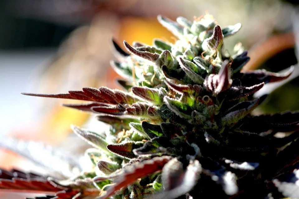
In a market that’s increasingly being taken over by large-scale production, lower quality, and cheaper prices, it’s important to look at the better alternative: craft cannabis. What makes Giving Tree Farms and other craft cannabis producers stand out? From seed-to-package, there’s a certain mindfulness involved. So, let’s take a look at what harvesting craft cannabis entails.

Fresh-frozen cannabis has taken the cannabis world by storm in recent years. As the name suggests, fresh-frozen cannabis entails freezing the harvest directly after it’s been picked. It’s been growing in popularity—especially as it’s one of the best methods we have to preserve terpenes and cannabinoids.
Join us for a behind-the-scenes look at how we go about producing fresh-frozen cannabis.


